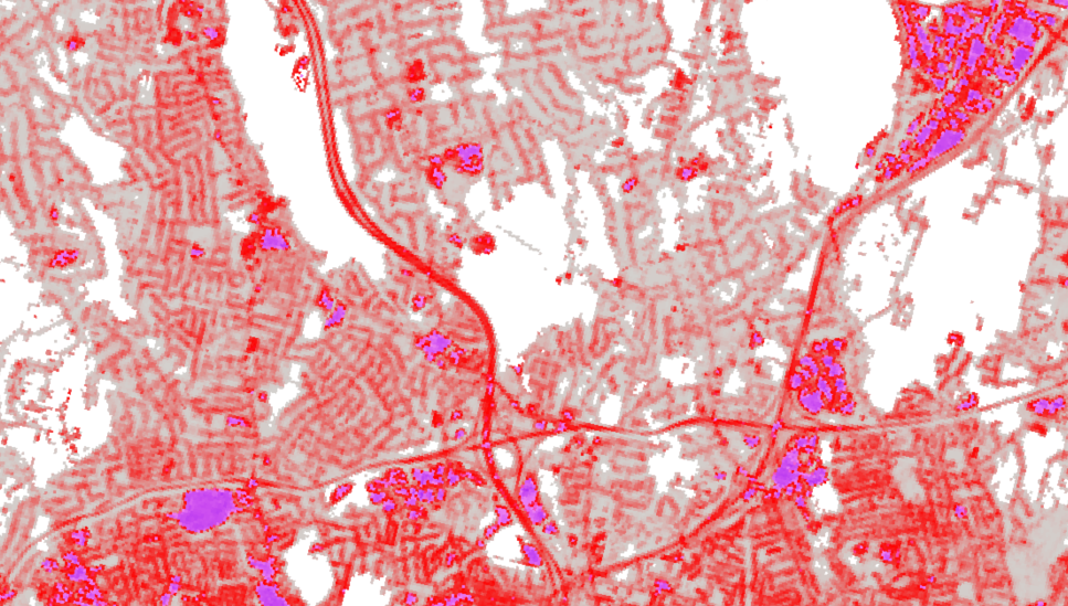
Impervious surfaces are features on the land that prohibit water from infiltrating in the ground, such as roads, buildings, driveways, and more. When rain lands on an impervious surface, it doesn't sink into the soil but instead becomes "stormwater runoff" which can cause localized flooding, degraded water quality, and water volume surges into streams and rivers. The map layers available below each show where impervious surfaces existed at a given time, and differ in mapping method, date, available categories, and spatial resolution (detail).
NEW! High Resolution 2023 Impervious Surface
- Impervious polygon layer (11 categories)
- Road line layer (road and sidewalk centerlines, crosswalks, 8 categories)
- Lane line layer (lane and shoulder centerlines, 9 categories)
High Resolution (1 ft) 2012 Impervious Surface
- 3 class raster layer (1 foot pixels) of roads, buildings, and other
- polygon layers derived from raster
- created from 2012 aerial imagery
High Resolution (1 m) Land Cover (C-CAP) Impervious Class
- 2021 impervious as single class raster layer
- 2016 high resolution land cover includes impervious class
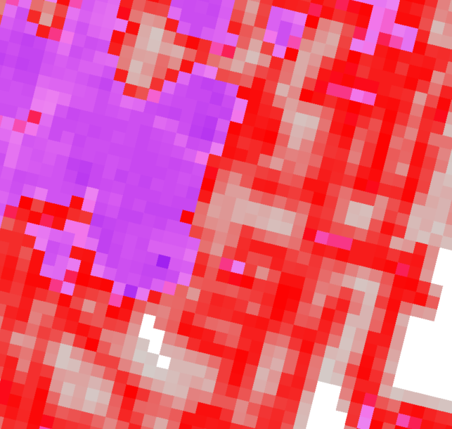
Medium Resolution (30 m) Impervious Surface Layer (NLCD)
- Raster layer where each pixel value is the percent impervious, ranging from 0-100%
- Produced annually from 30 meter satellite data
- Comparable for change
MS4 and Impervious
MS4 stands for Municipal Separate Storm Sewer System (MS4) and is a General Permit that applies to many of Connecticut's municipalities and includes several mapping requirements.
The CT MS4 page on CT ECO includes information about specific layers used to meet permit requirements and more.
The MS4 Guide on the CT NEMO site (part of UConn CLEAR) is a comprehensive guide about the permit and how to meet it.
Factors to Consider when Using Impervious Layers
Classes and Timing
Classes
The number of classes in the impervious surface datasets very widely, from one to eleven. The single-class datasets mean that a pixel is either impervious or not. Datasets with multiple classes begin to separate the type of impervious, from either buildings, roads and others, to one of eleven types in the 2023 layer (sidewalks, swimming pools, etc.).
Timing
Each impervious dataset was created from source imagery, usually aerial images captured from an airplane with a sensor or in the case of the NLCD impervious layer, the source is satellite imagery captured from a satellite in orbit that is equipped with a sensor. The date of the source imagery determines the date of the impervious surface dataset.
Often a time series is useful for determining change over time. Currently, the only dataset with multiple years is the medium resolution layer from NLCD which maps impervious surface annually from 1985-present. Although tempting, it is bad practice to compare different sources impervious surface for change because many of the change instances can be due to the method and not real change on the ground.
Accuracy and Error
There is always error associated with the process of converting imagery to quantifiable impervious surface. Accuracy assessments report the overall error, as well as class-specific errors (commission and omission). Some errors are more problematic than others. For example, mistaking a road for undeveloped could be a bigger issue than mistaking a road for "other pavement."
Always check for an accuracy assessment of the dataset before relying on a layer.
Spatial Resolution
Spatial resolution is how much land is covered by one pixel. The smaller the area, the more spatial detail, and the larger the file size.
Although high resolution land cover is fantastic, there are benefits to medium resolution including:
- ability for change analysis since there are older dates,
- ability to seamlessly cover large areas, and
- ease and cost of production.
The changing landscape land cover from both CLEAR and NLCD are medium resolution (30 meter pixels. ~100 feet) where the high resolution land cover has 1 meter pixels.
Vector land cover, such as the 2023 layers, are polygons or lines so pixel size doesn't apply. In this case, there is a minimum mapping unit (MMU) which is hte size of the smallest feature (polygon) in the dataset. For the 2023 dataset, the minimum mapping unit is an are of 100 square feet.
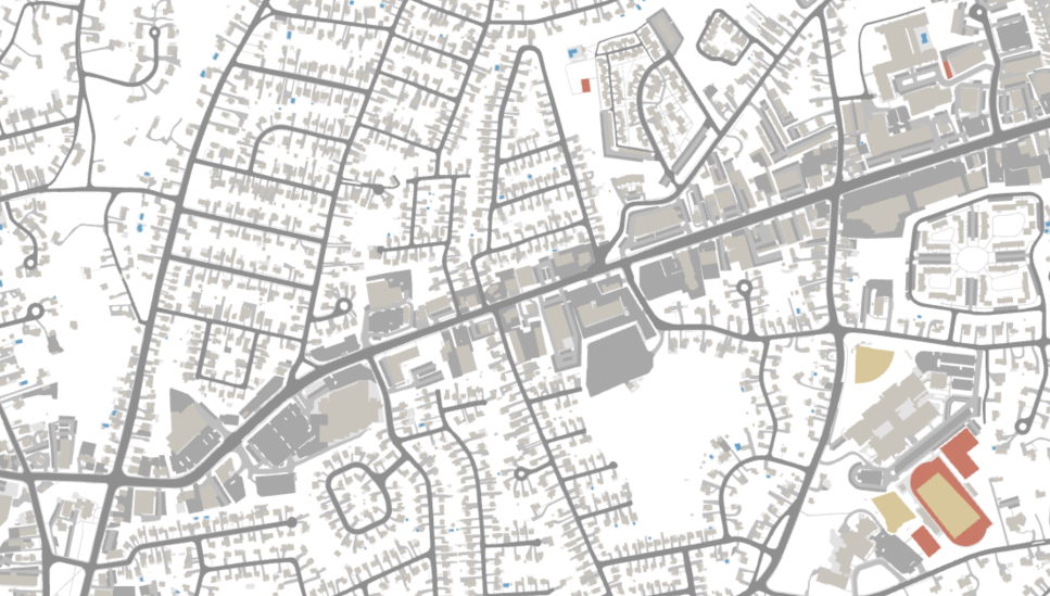
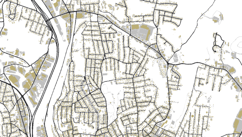
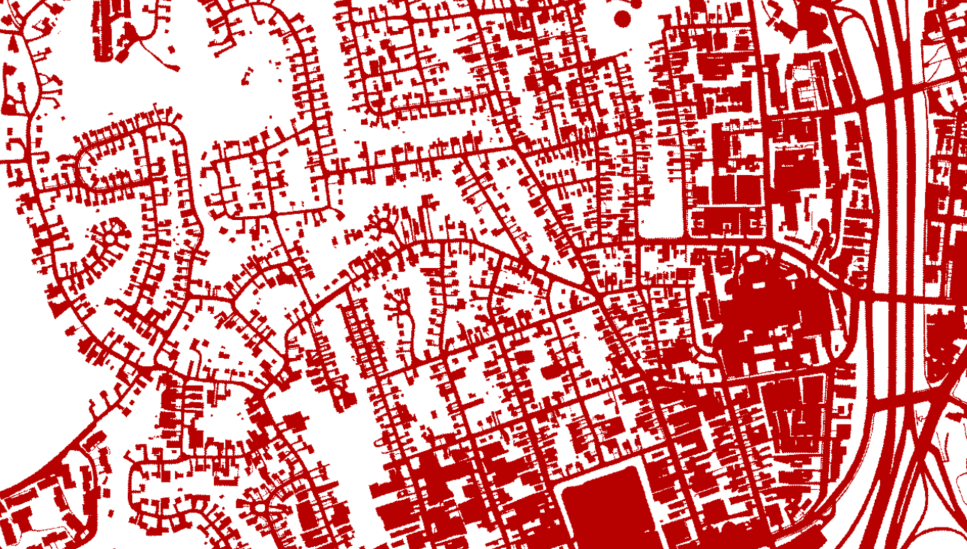
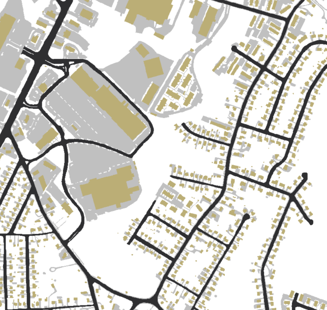
Comparison of Impervious Surface Datasets
Examples of impervious surface datasets. They vary by date of capture, mapping method used to create the layer, number of categories, spatial resolution, and availability of layers from different years to assess change.
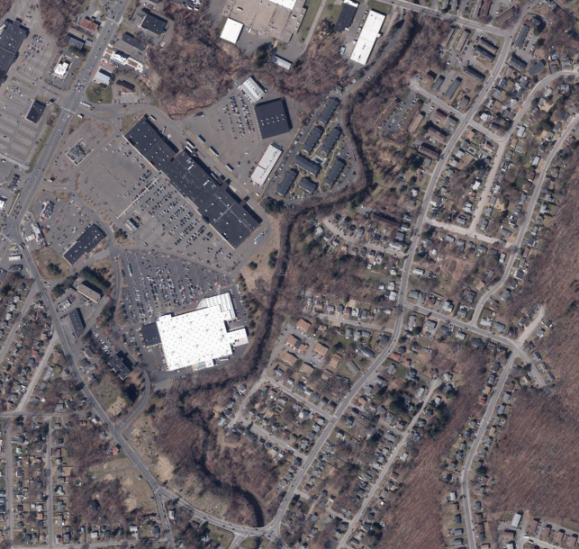
2023 Aerial imagery (3 inch pixels)
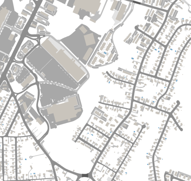
2023 Impervious Surface Layer (polygons, 11 categories)
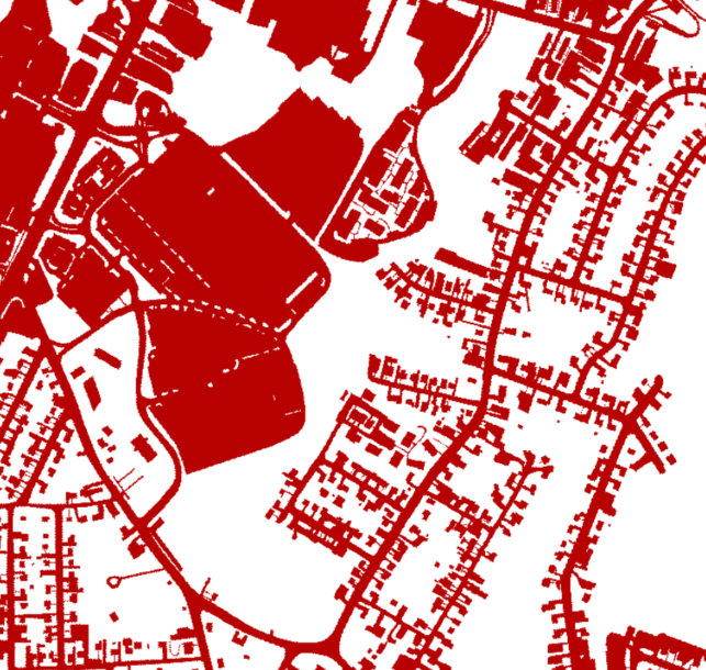
2021 Impervious Surface Layer (1 category, 1 meter pixels)
2012 Impervious Surface Layer (3 categories, 1 foot pixels)